![]()

50 Mhz Antennas Testing
14.03.2021
─
geo-ra.ru
Russia, Moscow
+74998410070
+79771000119 (WhatsApp)
Sokolov-labs@gmail.com
Place and time
Place of testing: Russia, Moscow, NAO, MZ “Ukraine” - Serednevo-Maryino-Desna, bridge over the Likova river.

The length of the surveyed section of the highway with the bridge: 538 m. Track length: 1076 m. (right and left side of the highway).
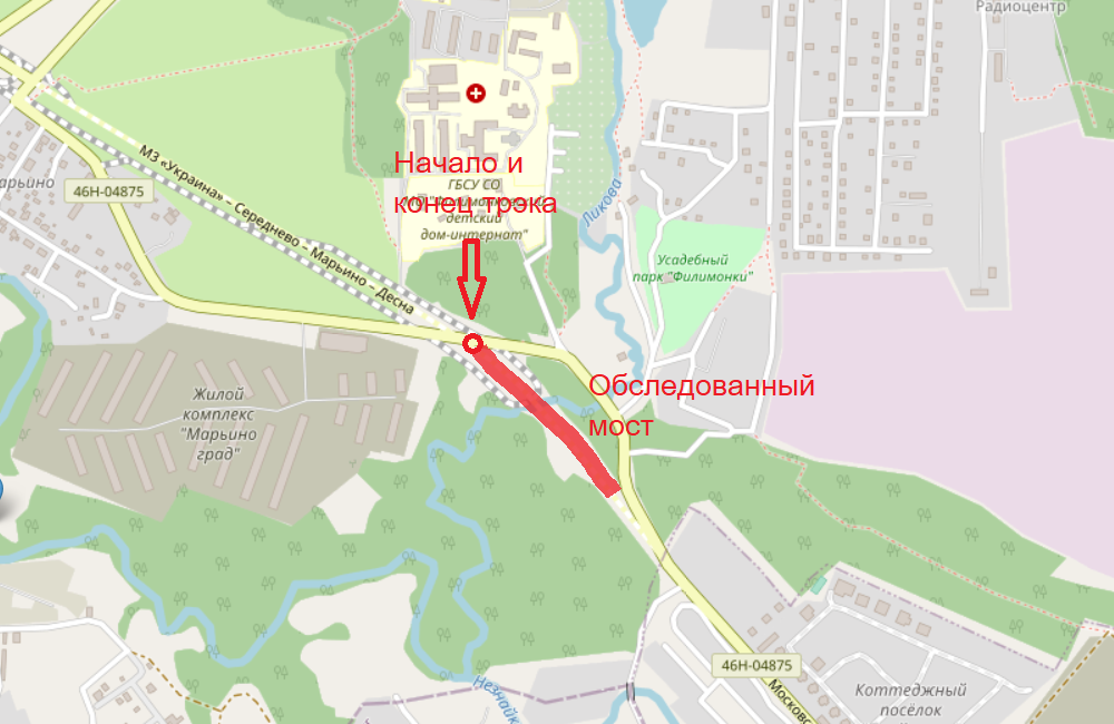
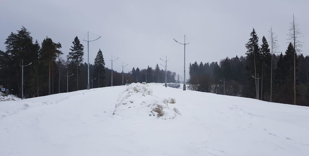
The bridge has a beam structure; the length of the bridge is 164 meters, the width is 20 meters. As of March 2021, construction work on the construction of the bridge has been completed, but the section of the highway has not been put into operation.
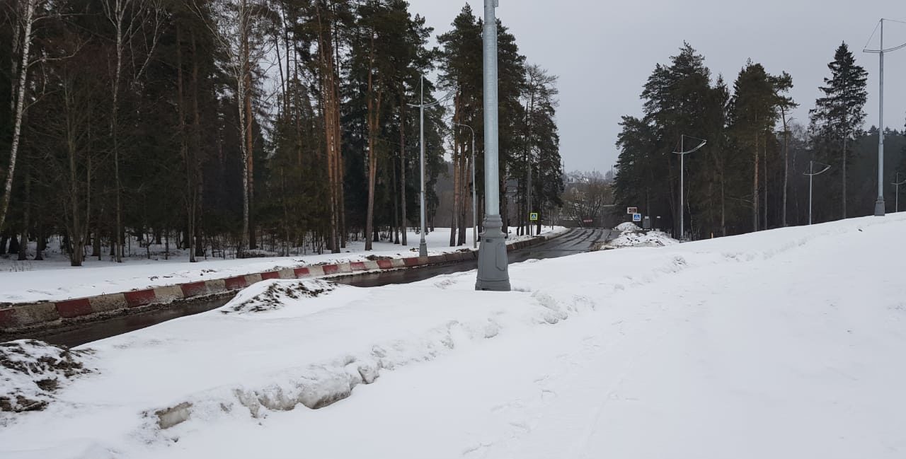
Date and time of the survey: 14.03.2021 from 16-15 to 16-35. Air temperature +1C.
Testing goals
- Testing the performance of antennas 50 Mhz.
- Testing of antenna covers L-44/410.

Equipmen
The GEORA X20 GPR complex consists of:
- Receiver X20,
- Transmitter 10 kV,
- Antennas 50 Mhz (3 м.)
Survey method
Parallel penetration; the distance between the antennas is 4 meters.

GPR sounding results
I. Bridge construction
On the right (north-south, first figure) and left (south-north, second figure) sides of the route, the bridge structure, temperature-strain joints are clearly visible.


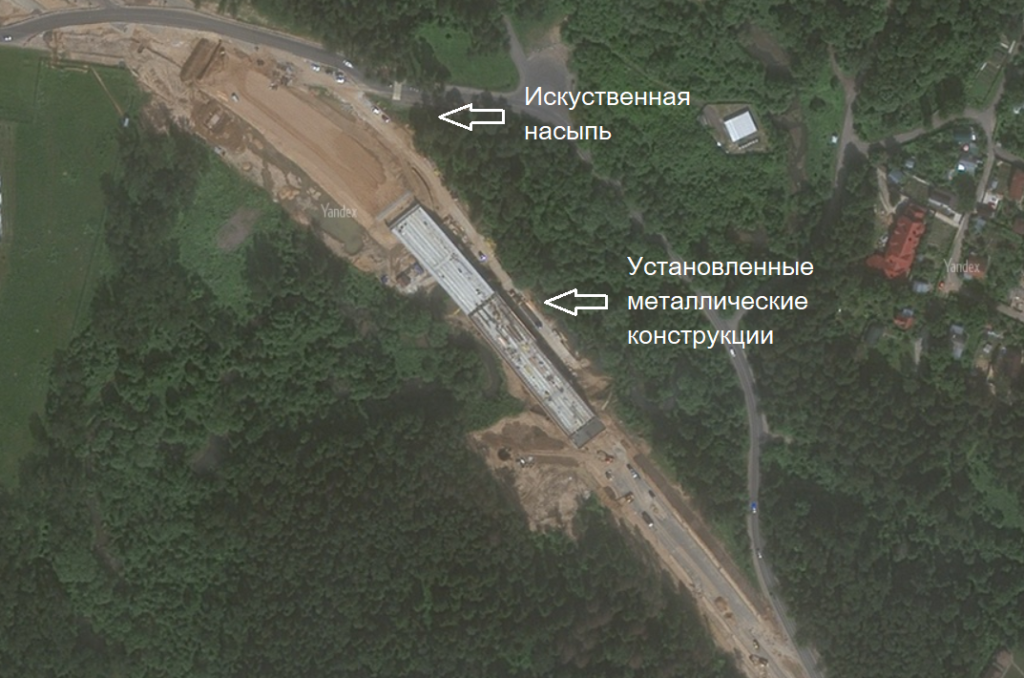
The design uses 2 monolithic metal parts; below is a photo during their installation (first photo) and at the end of it (second photo).

II. Artificial embankment
The screenshot shows the final fragment of the south-north track. Before the beginning of the metal base of the bridge, the natural terrain and layers of artificial embankment are visible.

III. Radio images of lighting poles
When displayed in monochrome, the regular radio images of the lighting poles are clearly visible.

IV. Pile bases of lighting poles
In the thickness of the embankment, the pile bases of the lighting poles are visible.

V. Symmetric structures
During the passage of the right and left parts of the route, symmetrical parabolas were found (presumably large-diameter pipes at a depth of about two and a half meters), “punctures”. The structures are more clearly visible when processing the derivative waveform (the second pair of images).


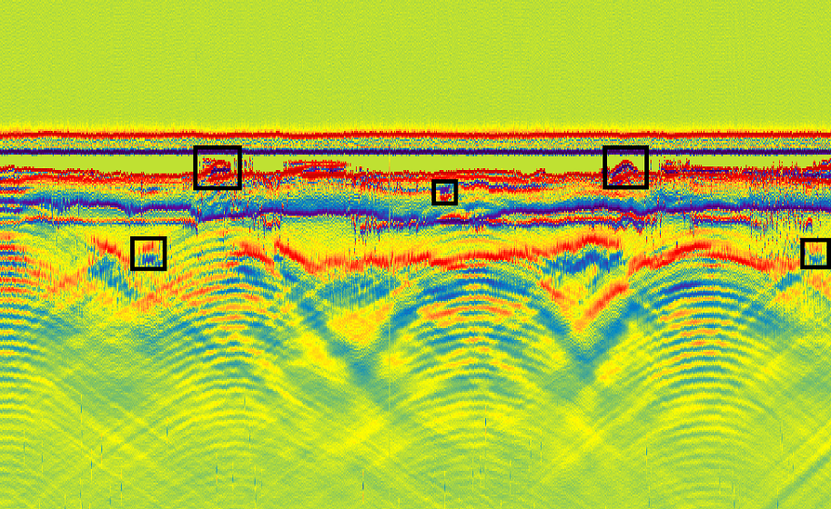
A very visual representation of the structures under the ground is given by black-and-white processing of "Processing of GPR Data" LLC.

Conclusions
The antennas confirmed their performance and allowed us to record objects at a depth of 1 to 12 meters.
